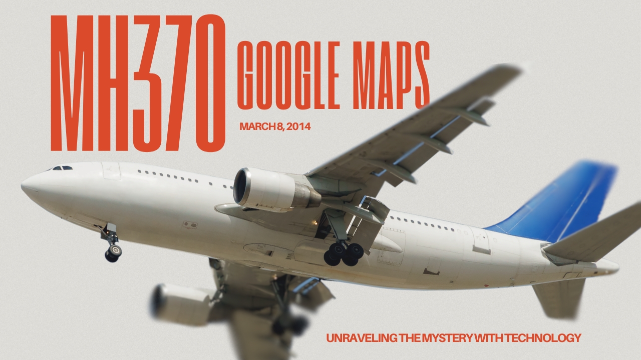
The disappearance of Malaysia Airlines Flight MH370 remains one of the most baffling mysteries in aviation history. Despite years of extensive search efforts, the Boeing 777 carrying 239 passengers and crew vanished on March 8, 2014, during a flight from Kuala Lumpur to Beijing. In recent years, technology enthusiasts and armchair investigators have turned to tools like MH370 Google Maps to explore the possibility of uncovering new evidence about the missing plane.
The Disappearance of MH370
On that fateful day, MH370 lost contact with air traffic control less than an hour after takeoff. The flight’s transponders were switched off, making it nearly impossible to track. After an extensive search, investigators concluded that the aircraft likely crashed in the southern Indian Ocean. However, without a definitive location, questions about what happened to MH370 continue to haunt the world.
How Google Maps Became a Tool for MH370 Investigators
Google Maps, a widely used mapping tool, allows users to view satellite imagery from around the globe. It has become an invaluable resource for researchers, enthusiasts, and even investigators trying to solve complex mysteries. The disappearance of MH370 prompted many individuals to use MH370 Google Maps in an attempt to identify anomalies or debris fields that might lead to the aircraft.
Google Maps’ ability to provide high-resolution satellite imagery has made it a go-to platform for sleuths. By examining areas of interest highlighted during official searches, many hope to find overlooked clues. While the platform is not designed specifically for this purpose, its detailed visuals have proven helpful in several investigations worldwide.
What Has Been Found Using MH370 Google Maps?
Over the years, several claims have emerged from users studying satellite imagery through Google Maps. Some have reported spotting what they believe to be pieces of debris or aircraft wreckage. These findings often lead to speculation and media coverage, but they have yet to provide conclusive evidence.
For instance, in 2018, an amateur investigator claimed to have identified parts of MH370 in the Cambodian jungle using Google Maps. Despite widespread interest, further exploration revealed no solid evidence to back the claim. Similar sightings in the Indian Ocean and remote islands have sparked interest but have not advanced the investigation.
| Year | Discovery Location | Status |
|---|---|---|
| 2015 | Reunion Island | Confirmed MH370 debris |
| 2018 | Cambodian Jungle | Unverified |
| 2020 | Indian Ocean | Unverified |
Why Is MH370 Google Maps Significant?
The significance of MH370 Google Maps lies in its accessibility and the collective effort it enables. Unlike traditional search operations, which require substantial funding and manpower, Google Maps allows anyone with internet access to contribute. This democratization of investigation has its pros and cons:
-
Pros:
- Encourages public participation
- Provides fresh perspectives on search areas
- Utilizes advanced satellite imagery
-
Cons:
- Risk of false leads
- Over-reliance on amateur analysis
- Lack of official verification
Despite these limitations, the role of Google Maps in solving mysteries like MH370 highlights the evolving nature of investigative tools in the digital age.
You May Want to Read About: Miami Dade School Calendar 23-24
Official Search Efforts vs. Google Maps Analysis
The official search for MH370, led by international authorities, has been the most extensive in aviation history. Using advanced sonar technology, ships and submarines have scoured vast swaths of the Indian Ocean. However, the inability to locate the main wreckage has left the door open for alternative methods like MH370 Google Maps to gain traction.
While official searches rely on scientific data and expert analysis, Google Maps investigations are often driven by curiosity. The combination of professional and amateur efforts provides a holistic approach to uncovering clues, even if the latter is less reliable.
The Role of Artificial Intelligence in Enhancing Google Maps
In recent years, artificial intelligence (AI) has enhanced tools like Google Maps. AI algorithms can analyze large datasets, identifying patterns and anomalies that human eyes might miss. When applied to the MH370 Google Maps initiative, AI could:
- Quickly scan vast oceanic regions
- Highlight unusual shapes or objects
- Provide actionable insights for further investigation
Several tech companies and researchers are already exploring ways to integrate AI with satellite imagery to improve the chances of locating missing aircraft like MH370.
Public Interest in MH370 and Google Maps
The story of MH370 continues to captivate the world. Documentaries, books, and online forums dedicated to the tragedy keep the discussion alive. Platforms like Google Maps offer a way for the public to feel involved in the search. While professional investigations depend on protocols, amateur efforts through MH370 Google Maps provide a sense of community-driven problem-solving.
Debunking Myths and Misconceptions
Over the years, many theories about MH370 have emerged, ranging from mechanical failure to hijacking. Google Maps findings often fuel these theories, sometimes leading to misinformation. For example:
- Myth: A Google Maps image showing debris must be MH370.
- Reality: Without physical verification, such claims remain speculative.
- Myth: Google Maps updates in real-time.
- Reality: Satellite imagery on Google Maps can be months or even years old, limiting its effectiveness for ongoing investigations.
You May Like: Tripping Blonde: A Travel and Lifestyle Blog
The Future of MH370 Investigations
As technology advances, the search for MH370 is likely to evolve. The integration of tools like Google Maps with AI, machine learning, and next-generation satellites offers hope for breakthroughs. While the official search may have concluded, the collective effort of professionals and amateurs alike ensures that the quest for answers is far from over.

FAQs About MH370 Google Maps
Q: Can Google Maps be used to find MH370?
A: While Google Maps provides satellite imagery, it is not a substitute for professional search operations. It can, however, aid in identifying potential areas of interest.
Q: Has anyone found MH370 using Google Maps?
A: Several claims have been made about spotting MH370 debris using Google Maps, but none have been conclusively verified.
Q: How accurate is Google Maps for such investigations?
A: Google Maps is accurate for general observations, but its satellite imagery may not always be current or detailed enough for definitive conclusions.
Q: What other tools are used to search for MH370?
A: Professional searches utilize sonar, radar, and advanced satellite data to locate wreckage.
Q: Why is MH370 still unsolved?
A: The vastness of the ocean, coupled with limited data, makes locating the wreckage extraordinarily challenging.
Click here to Read About: Feedbuzzard .com
Conclusion
The mystery of MH370 continues to intrigue and puzzle the world. While official search efforts remain the cornerstone of the investigation, tools like MH370 Google Maps offer a unique way for the public to engage with this unresolved tragedy. By combining technology, collective curiosity, and professional expertise, there is still hope that the final chapter of MH370’s story will one day be written.